This subject is really three subjects wearing one name: how approaches are structured and categorised, how pressure instruments can quietly lie to you, and how an aircraft navigates without any of that pressure instrumentation at all. Worth taking them in that order — the errors section only makes sense once the datums are solid.
Approach Procedures
FAF — Final Approach Fix, typically 10 NM from threshold. FAS — Final Approach Segment, running from the FAP (Final Approach Point) to the MAPt (Missed Approach Point). Every approach breaks into five segments, in order: Arrival → Initial → Intermediate → Final → Missed.
A straight-in approach is acceptable if the angle between runway centreline and final approach track is 30° or less; pilots apply their own wind corrections between the runway and that track.
MSA (Minimum Sector Altitude) and TAA (Terminal Arrival Altitude) are established for each approach, providing at least 300 m (984 ft) obstacle clearance within 25 NM.
| Category | Approach speed (IAS) |
|---|---|
| H | Helicopter |
| A | < 91 kt |
| B | 91 – 121 kt |
| C | 121 – 141 kt |
| D | 141 – 166 kt |
| E | 166 – 201 kt |
The approach chart specifies which categories a procedure is approved for. Where airspace requirements are tight, category-based speed restrictions may apply — or the procedure may instead cap IAS for a particular segment without referencing category at all.
OCA/OCH (Obstacle Clearance Altitude/Height) is specified per category and published on the chart. Precision approaches use ILS, MLS, GLS, or PAR. Non-precision approaches use LLS (localizer-only), SRA, VOR/DME, VOR, VDF, NDB/DME, or NDB.
OCA/H for a precision approach is the lowest altitude/height above threshold elevation at which a missed approach must be initiated to ensure obstacle clearance compliance. For non-precision approaches, a STAR (Standard Arrival Route) starts at a fix or waypoint and routes to a facility — usually the IAF (Initial Approach Fix).
Max angle of interception for the initial approach segment: 90° for precision, 120° for non-precision. The Primary Area is the zone symmetrically disposed about the nominal track within which MOC (Minimum Obstacle Clearance) is guaranteed.
Pressure & Airspeed Fundamentals
1 Bar = 14.5 PSI. Static pressure is atmospheric pressure; dynamic pressure is the kinetic energy of moving air converted to a pressure value.
Dynamic Pressure = ½ ρV²
Total Pressure = Dynamic + Static
Three pressure datums govern every altimeter setting:
| Datum | Reads |
|---|---|
| QFE | 0 at the ground — airfield QFE at the highest point of the airfield, touchdown QFE at the runway touchdown point (precision approaches) |
| QNH | Altitude above mean sea level (AMSL); shows field elevation at touchdown |
| STD | 1013.25 hPa (29.92 inHg) — used at/above the Transition Level |
Density Altitude = Pressure Altitude + (120 × ISA deviation)
Airspeed indicators are calibrated to read correctly under ISA conditions. At height, air density falls, so the same dynamic pressure (same IAS) corresponds to a higher TAS. If the air is warmer than ISA, TAS exceeds IAS — because with ρ lower than standard, V has to increase to produce the same ½ρV².
Altimetry Errors
Position/instrument error varies with IAS and angle of attack, and includes hysteresis error — the aneroid capsule's reluctance to regain its correct shape immediately after a pressure change ("friction in gearing," as the notes put it).
Barometric error is any deviation from the set subscale datum — corrected by adjusting the subscale.
Temperature error is the dangerous one. Warm-to-cold air causes the altimeter to over-read — you're actually lower than indicated. The memory aids: "High–Low–High" (flying from high pressure/temp to low, or vice versa, the altimeter reads high — you're lower than it says) and "High to low, careful go" (going from high to low pressure/temperature puts you closer to the ground than you'd expect). Temperature corrections must be applied to decision heights and altitudes.
TAS, Mach & Unit Conversions
1 Knot = 1 NM/hr
1 NM = 6,080 ft = 1,852 m
1 Statute Mile = 1,760 yards = 5,280 ft
140 × 6,080 ÷ 5,280 = 161 mph
Zp (Pressure Altitude) converts CAS → EAS. Zd (Density Altitude) converts EAS → TAS. TAS = EAS corrected for density error. Static port blockage during a descent is dangerous — the ASI will over-read.
LSS = 38.94 × √T (T = static air temperature in Kelvin)
Mach Number = TAS ÷ LSS
T(K) = −52 + 273 = 221 K
LSS = 38.94 × √221 = 579 kt
An isothermal layer holds constant temperature — on an ELTM diagram the temperature and Mach lines draw together, both vertical. An inversion layer swaps and inverts that relationship.
Machmeter & Air Data Computer
ADC = Air Data Computer. Mach indicator formula: (PT − PS) ÷ PS. TAS is derived from dynamic pressure PD = (PT − PS), itself a function of air density. 1 Bar = 1,000 hPa.
Direct Reading Compass — Turning & Acceleration Errors
Northern Hemisphere: UNOS — Undershoot North, Overshoot South. Southern Hemisphere: ONUS — Overshoot North, Undershoot South. Liquid swirl increases turning error the nearer the pole the compass is turning toward, decreasing toward the opposite pole. Turning errors are greatest on N/S headings, zero on E/W headings, and increase with bank angle.
Acceleration errors — ANDS (Northern Hemisphere): Accelerate North, Decelerate South, with turn indication showing on E/W headings — greatest at E/W, zero at N/S. The underlying cause in both cases is the vertical component of the Earth's magnetic field.
Apparent topple is zero at the poles, maximum at the equator. Apparent drift is maximum at the poles, zero at the equator — this is astronomic precession. Transport wander is zero moving N/S, and equals convergency moving E/W: Transport Wander = Δ longitude × sine(mean latitude).
The UNOS/ONUS and ANDS mnemonics are standard ATPL memory aids, but they're easy to flip under exam pressure — worth a final cross-check against your official material before relying on them.
Rate of Turn & Bank Angle Calculations
Rate 1 = 3°/sec (180°/min) · Rate 2 = 6°/sec · Rate 3 = 9°/sec
Angle of bank required = (TAS ÷ 10) + 7
Higher TAS needs a higher bank angle to sustain the same rate of turn. Apparent drift due to Earth's rate = 15° × sine(latitude) — Northern Hemisphere drifts right (clockwise, heading reduces); Southern Hemisphere reverses the sign convention.
Classic artificial horizon turn errors: at 90° of turn the AOB under-reads (pitch-up from acceleration); at 180° it's correct at maximum pitch-up; at 270° it over-reads; at 360° everything's correct again. A laser gyro can measure rotational motion directly.
Inertial Navigation Principles
Integration is time multiplication: Acceleration → (1st integration) → Speed → (2nd integration) → Distance. Three accelerometers are needed — one each for N/S, E/W, and vertical — to build the full "trihedron."
Three solution types for keeping track of orientation:
- Stabilised inertial platform (INS): 3 accelerometers stay physically aligned E/W and N/S — a genuine stable platform.
- Wander angle INS: platform stays level but doesn't maintain North alignment — better suited to polar navigation, more complex.
- Strapdown system (modern IRS): no N/S or E/W alignment maintained at all — accelerometers are simply fixed to the airframe, and the system just tracks how far out of level they were at initialisation, then monitors changes.
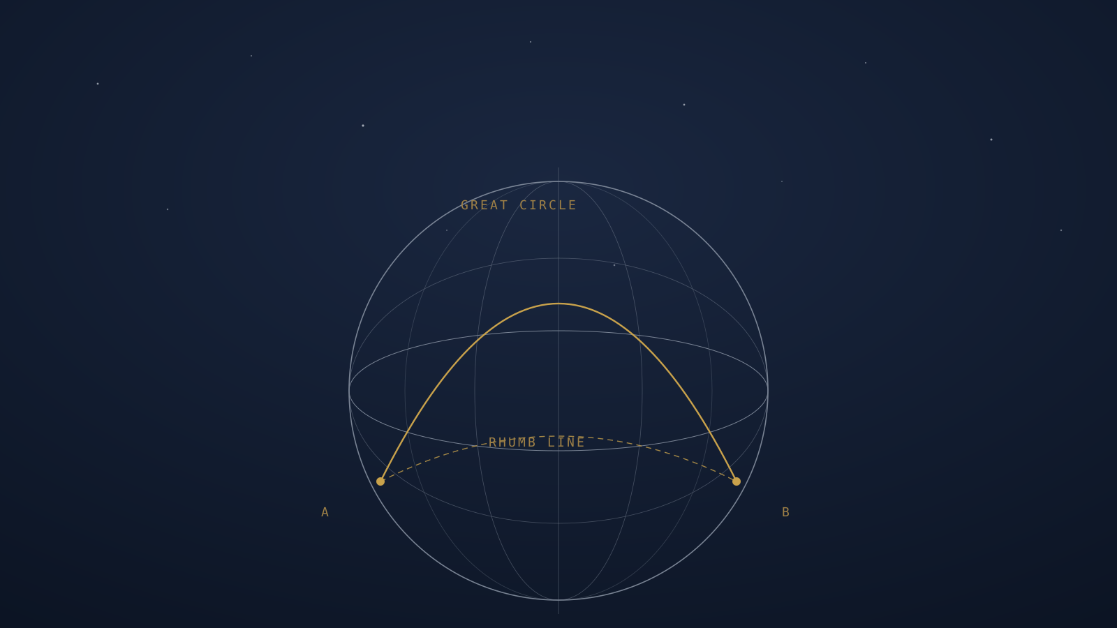
Stable platform alignment sequence: automatic battery test → local vertical alignment → search for true North → definition of latitude → insert present lat/long. Takes 10–15 minutes — start early in pre-start checks. Inertial tracks are Great Circles.
A strapdown IRS needs 3 Ring Laser Gyros and 3 accelerometers, measuring the trihedron fixed to the aircraft's own structure and ignoring E/W or N/S alignment entirely — which gives it faster realignment with the local vertical. Both stable-platform and strapdown systems suffer from Schuler errors, an 84.4-minute oscillating error inherent to the physics.
FMS carries two databases — Navigation and Performance. CDU (Control Display Unit) or MCDU (Multifunction Control Display Unit) is the interface. The Nav database updates every 28 days; the Performance database updates as required. FMS can auto-tune into nav radio aids. Cost Index of zero means minimum-fuel priority; a high cost index trades fuel burn for higher cruise speed.
The Schuler error figure (84.4 minutes) matches the standard textbook value, but it's worth confirming the notebook's context — both stable-platform and strapdown systems inheriting this oscillation — against your official course material.